DRONE PROPERTY LOSS INSPECTIONS & POST-DISASTER DOCUMENTATION“]
-
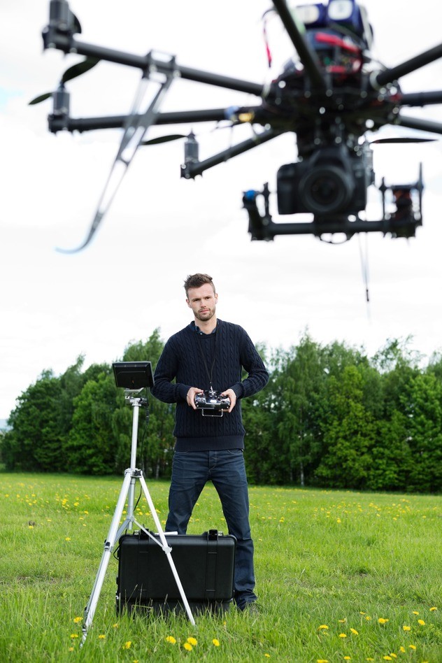
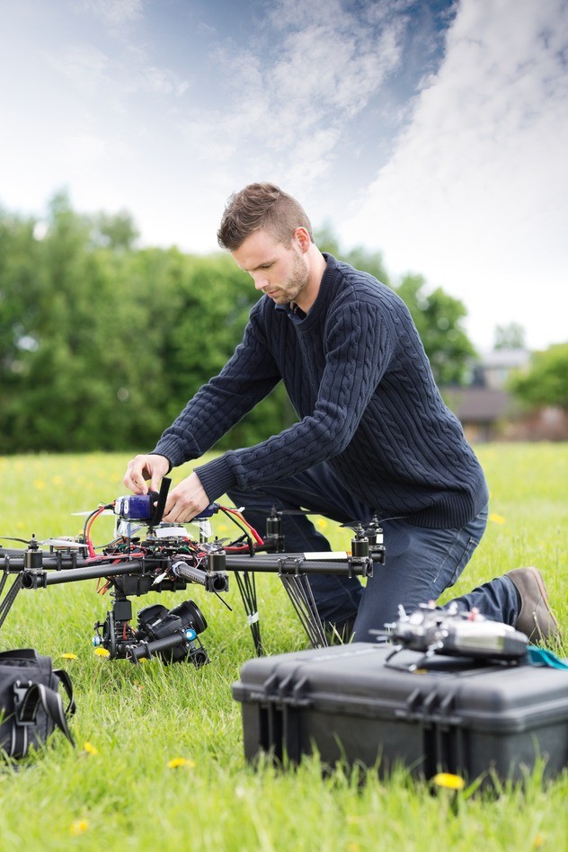
Stryker can provide our insurance clientele with on-site inspectors and drones for post-disaster documentation and catastrophic claims management for the property and casualty insurance industry. They can benefit significantly from the use of drones, especially in the areas of risk engineering and disaster documentation. The use of drones can assist with identifying the size and scope of damage and whether the disaster was natural or man-made disasters. The appropriate data has to be gathered, organized and displayed logically to determine the damage and financial loss sustained by the insured.
In the U.S., drones are currently used to enhance public safety, support agriculture, help the environment, monitor the climate, and mitigate and monitor disasters. That’s according to the Association of Unmanned Vehicle Systems International (AUVSI), an industry group that has been lobbying the FAA to change its regulations to free up airspace for unmanned vehicles and allow for greater government and commercial use of drones.
The FAA has granted AIG, State Farm, and USAA approval to use unmanned aircraft for inspections. The insurers said drones will help them inspect areas that are difficult for people to access. Drones have the ability to help insurers swiftly respond to claims from hurricanes, tornadoes, and floods by providing aerial images of areas claims adjusters can’t get to. They also see drones as a way to reduce injuries from risky roof inspections.
After being subject to criticism for its stringent restrictions on commercial use of drones, the FAA announced in March 2015 that it would streamline its process of reviewing “Section 333 exemption” filings for use of drones weighing less than 55 pounds (25 kilograms) in commercial operations. (Section 333 of the FAA Modernization and Reform Act of 2012 authorized the Secretary of Transportation to determine requirements for commercial use of unmanned aircraft systems.) In March the FAA also exempted entities with approved Section 333 exemptions from filing flight plans for each drone use, provided that the drone is flown below 200 feet. The FAA’s move to speed Section 333 approvals and to lift some of the restrictions on commercial drone use is likely to increase insurers’ interest in the use of drones for a wide range of property inspection purposes.
Restrictions in Section 333 Exemption Approval Issued to Insurers
Today, even with the recent changes, the FAA approvals of commercial use of drones have significant restrictions. Although lightweight drones may weigh less than 5 pounds, the operator must have a pilot license (which, under the FAA’s recent relaxation of commercial drone requirements, can be a recreational or sports pilot license). A second observer must be present for all drone flights. The drones can only be operated within line-of-sight of both the pilot and the observer.
Section 333 exemption applications contain the following restrictions:
- No operations beyond visual line of sight (VLOS)
- No operations over any person not directly involved in flight operation
- Operators are required to obtain an unmanned aircraft operator certificate, be at least 17 years old, and be vetted by the Transportation Security Administration
- Operations are limited to daytime hours only (sunrise to sunset)
- Operations are limited to 500 feet above ground level (AGL)
-

The on-site “inspector” will need to hold an FAA drone operator license and will need to have sufficient insurance training to collect the data relevant to the underwriting or claims evaluation. 
The drone operator will not need the substantive expertise in building construction and maintenance currently needed for underwriting inspections or the expertise in the extent of damage, loss causation, and other issues currently needed for claims inspection.
THE INSURANCE INDUSTRY'S MOST EFFECTIVE TECHNOLOGY TOOL
- Improved risk assessment. Drones offer a cost-effective way to assess risks—particularly for large sites and multi-story buildings—to facilitate more accurate pricing, rating, and loss control.
- Claims adjustment after catastrophes or natural disasters. Rather than sending a team of adjusters into a potentially dangerous disaster, insurers could deploy drones to survey post-disaster damage—for faster claims adjustment and resolution, better customer service and more accurate estimation of losses.
- Claims adjustment for large or complex sites. Again, it can be more efficient and effective for drones, rather than people, to survey large or complex facilities. In principle, drones can also get closer to relevant features to obtain photos, without having to touch (and potentially damage) the site. Further, GPS tracking ensures that the photos have exact coordinates for where they were taken.
I can see many interesting issues with having a drone evaluate a property. From a catastrophe standpoint, when a declaration of emergency does not allow vehicles into an area, State Farm’s drones may assess the extent damage to the community. This could aid the company in ensuring it deploys enough properly licensed adjusters to this distressed area for future help to the policyholders. But drones really can’t replace a licensed adjuster scoping a loss, right? How will the drone data be evaluated by State Farm? Drones can easily scale a high pitch roof or fly all around the multistory building, but what the drone sees must still be analyzed and verified for accuracy. A lot of roofs look the same from above. The drones will also require pilots and are only going to be tested by State Farm for now, but if you are a blog reader in the Illinois area. Keep your eye out.
A spokeswoman for State Farm Insurance